
Around Moyobamba there are three natural areas every resident should know. They are very different: a large state-protected cloud forest, a wetland looked after by a local association, and a hill that serves as a lookout over the valley. Each has a different legal status and manager, and that changes how you visit.
Alto Mayo Protection Forest
It is a state-protected natural area, created on 23 July 1987 and managed by SERNANP (the National Service of State-Protected Natural Areas), which has its own head office for the area. Since 2012 SERNANP has co-managed it with Conservation International under an administration contract.
It covers about 182,000 hectares, mainly in the provinces of Rioja and Moyobamba, with parts in Amazonas and Loreto. Its category, protection forest, exists to safeguard watersheds: it protects the upper Mayo basin and other rivers and streams that supply water to more than 280,000 people in San Martín and Amazonas.
Most of it is cloud forest. A 2024 study recorded some 1,300 orchid morphospecies there, and more than 500 bird species have been counted, including 44 hummingbirds. It is home to the long-whiskered owlet and the yellow-tailed woolly monkey, two flagship species of northern Peru.
The Fernando Belaúnde Terry highway crosses the forest. At kilometre 375 there is a viewpoint at 1,928 m overlooking the cloud forest, and 23 km of the road form a birdwatching route. About 1,500 families live inside the area; some 700 have conservation agreements with the management and work in coffee, vanilla, orchids and birding tourism.
Tingana: the aguaje and renaco wetland
Tingana is a flooded forest of aguaje palms and renaco trees on the banks of the Avisado river, in the Alto Mayo valley. It is a conservation concession granted in 2017 to the Asociación de Conservación de Aguajales y Renacales del Alto Mayo (ADECARAM), made up of local families, over 2,867.74 hectares according to WCS. In 2025 Peru reported it as an OECM (other effective area-based conservation measure), the first in San Martín.
On the guided visit, by canoe and on foot, you can see monkeys (locally called fraile, pichico and tocón: squirrel monkeys, tamarins and titis), giant otters, sloths and many birds, as well as orchids and bromeliads. According to WCS, the critically endangered San Martín titi monkey lives in the concession.
To get there you drive to Boca de Huascayacu, a port on the Mayo, and then take a boat to the Avisado river. Visits are arranged in advance with ADECARAM or with authorised agencies, and the number of visitors per day is limited.
Morro de Calzada
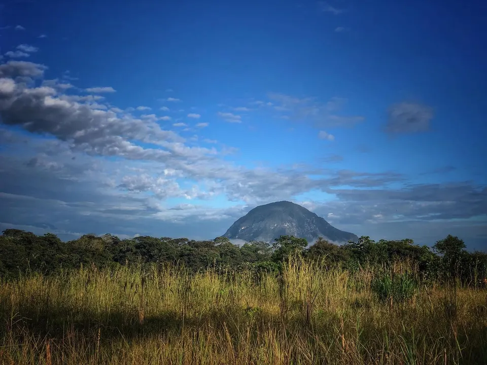
Morro de Calzada is a hill rising about 600 metres above the valley, in the district of Calzada, some 14 km from Moyobamba. From the foot of the hill, PromPerú and Andina put the walk to the top at about 1 h 20 min, among almendro trees, orchids and bromeliads, with plenty of birds along the way. From the summit the view takes in the Alto Mayo valley. Before you go, check opening hours and the entrance fee.
The San Martín Regional Government recognises it as a Zona de Conservación y Recuperación de Ecosistemas (ZoCRE), an ecosystem conservation and recovery zone. The regional government, the Ministry of the Environment and the Calzada District Municipality are working on a payment-for-ecosystem-services scheme to fund its conservation through ecotourism.
Rules for visitors
- Enter only through official access points and, where there is an entrance fee, pay it: it helps fund the site's care.
- At Tingana, book ahead; you cannot just turn up.
- Don't bring pets to Morro de Calzada: the Calzada municipality has banned them.
- Don't take plants or animals. Illegal orchid trading is one of the threats to these forests.
- Take your rubbish home, stay on the trails and keep quiet near wildlife.
- Bring a rain jacket, insect repellent, a cap and sunscreen.